Hong Kong, one staircase at a time
FOG covers the entire world map in fog and clears it only where your feet have been. In Hong Kong that means stairs, elevated walkways and ridge paths, not just road centrelines.
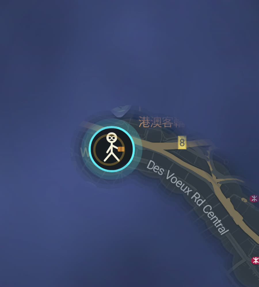
Hong Kong on the FOG map, with the fog burned off along a walked route through Central and up toward the Mid-Levels.
What walking Hong Kong actually feels like
Hong Kong is not laid out flat. Hong Kong Island is a narrow shelf of reclaimed land with a mountain immediately behind it, so almost every north-south move is a climb and almost every east-west move is a straight run along the shore. Central, Sheung Wan and Wan Chai sit on the flat strip. Above them the Mid-Levels stack up the slope, connected by the Central-Mid-Levels Escalator, which runs downhill in the morning and uphill the rest of the day. Walk it once and you understand the city's basic shape.
Kowloon across the harbour is the opposite. Tsim Sha Tsui, Jordan, Yau Ma Tei and Mong Kok form a dense, almost regular grid running north from the waterfront, with Nathan Road as the spine. It is flat, walkable and relentless. You can cover a lot of ground there in an hour and see it register on the map immediately.
An afternoon that fills in a lot of map
Start at the Star Ferry pier in Tsim Sha Tsui and walk the promenade east along the harbour, then turn north up Nathan Road. Keep going through Jordan and Yau Ma Tei to the Mong Kok street markets, cut west to Shanghai Street, and come back south on a parallel road so you are not retracing the same line. That is a couple of hours and it draws a long ladder of cleared streets straight up the peninsula.
On the island side, the classic is different in character. Take the escalator up through SoHo, walk west along Hollywood Road past Man Mo Temple, drop down the stairs into Sheung Wan, then follow Des Voeux Road back east through Central. If you have the legs, Bowen Road above Wan Chai is a flat contour path along the hillside, which is unusual here and very pleasant.
Why the fog is stubborn here
Hong Kong is genuinely hard to clear, and for an interesting reason. The city is three-dimensional. A single block can have a street, a covered market lane, a podium level and a footbridge network above it, and walking all four leaves roughly the same mark on a flat map. So the visible progress per hour of walking is lower than in a city that spreads sideways.
Then there is the terrain. The built-up area only occupies the flat and lower-slope land. Behind it sit Victoria Peak, Tai Tam and the country parks, which take up much of the island and stay fogged unless you hike. The Dragon's Back trail and the Peak Circle Walk both clear satisfying arcs of otherwise blank hillside.
The upside is that the dense districts fill fast. Mong Kok, Sham Shui Po and Causeway Bay have short blocks and narrow streets, so a normal afternoon of wandering lights up a solid patch rather than a thin thread.
Practical notes
GPS in the canyons. Central, Admiralty and Mong Kok have some of the tallest, tightest street canyons anywhere. Phone positioning wanders in that environment, and it will sometimes place you a street over. It settles once you are back in the open, and the harbourfront promenades track cleanly.
Heat and rain. May to September is hot and humid, with typhoon warnings that shut things down for a day or two at a time. Autumn is the good walking season, dry and clear. Winter is mild and fine for long days out.
Indoor shortcuts. Much of Central connects by air-conditioned footbridge. Comfortable, but you are walking above the street rather than on it, so decide whether you want the ground-level line on your map before you take them.
FOG keeps recording with the app closed and the screen off, so you are not staring at the phone while you navigate stairs.
Questions people actually ask
Does FOG work on the escalators and footbridges?
It records wherever your phone can get a position. Elevated walkways and outdoor escalators usually track fine. Fully enclosed indoor sections and the MTR will not.
Do the country parks count?
Yes. Trails clear fog the same way streets do. Hiking the Dragon's Back or the Peak trails opens up land that no amount of city walking will reach.
What does the paid unlock cost?
USD 5.99, once. It unlocks unlimited ranks, every character, and history import from Google Timeline exports and GPX files. There is no subscription.
Can I see how much of Hong Kong I have covered?
Yes. For any city you have walked, FOG shows the percentage of it you have lit up.
Does my route get uploaded anywhere?
No. There is no account, no cloud, no analytics and no tracking. The map stays on your phone, and you can export your own data.
Start with a dark map.
FOG is free to explore. No account, no subscription, and your map never leaves your phone.
free to explore · one purchase unlocks everything · never a subscription