London is a lifetime of dark map
London was never designed, it accumulated. FOG hides the entire world until your feet uncover it, which turns a city with no grid and no edges into something you can chip away at for years.
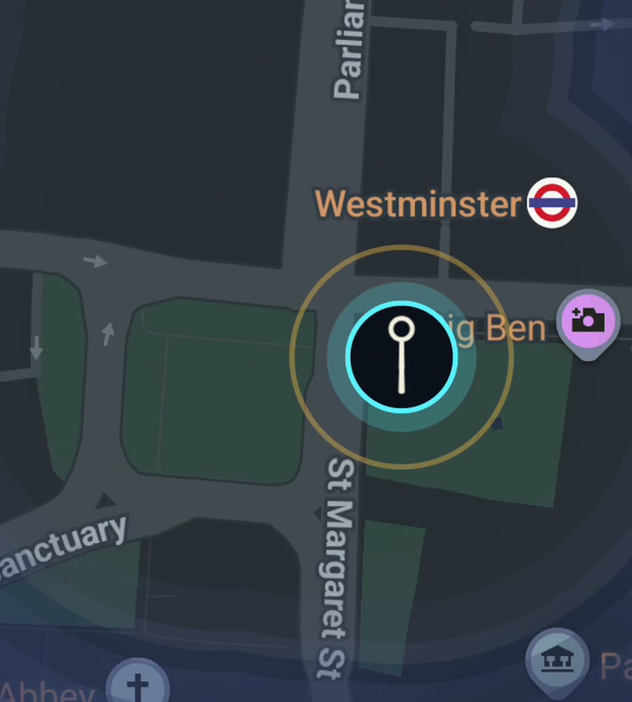
London on the FOG map, the fog burned off along a walked line from Westminster down the South Bank to Tower Bridge.
A city with no plan
London has no grid and never had one. The medieval City survived the 1666 fire in outline if not in fabric, so the square mile still runs on lanes and courts and alleys with names like Bleeding Heart Yard. Everything outside it was a separate village that got swallowed. Hampstead, Greenwich, Clapham, Islington, Ealing: each one still has a high street and a green that make no sense in relation to the next.
That is why the walking is good and the map is hard. Streets curve, terminate, resume under a different name, or turn out to be a private mews with a bollard at the end. Greater London covers something like 1,570 square kilometres. You are not going to finish this. Pick a borough and you have a project.
The terrain is mostly gentle. The Thames valley is flat, the north London heights (Hampstead, Highgate, Crystal Palace on the south side) are the only real climbs. The weather is the actual constraint. It is rarely cold enough to stop you and rarely dry enough to be pleasant, and from November to February it is dark by four.
Two corridors worth an afternoon
The obvious one is the river. Start at Westminster Bridge, cross to the south side and follow the Thames Path east past the South Bank, Bankside and Borough Market to Tower Bridge, roughly five kilometres of continuous walkable frontage. Come back on the north bank through the City, up past St Paul's and along the Strand, and you take two parallel lines instead of one.
The better one for filling map is the Regent's Canal. Pick it up at Little Venice and follow the towpath through Regent's Park, Camden Lock, Islington (where you go up and over the tunnel), Haggerston and Victoria Park down to Limehouse Basin. It is about thirteen kilometres, it is flat, it has almost no road crossings, and it draws a single unbroken line straight across north London.
Why the fog is stubborn here
London fills in as a fractal. You walk a route, look at the map, and see the main road lit with hundreds of dark stubs hanging off it. Those stubs are residential terraces, crescents, closes and cul de sacs, and most of them go nowhere. Clearing a Victorian grid in Hackney or Walthamstow means walking each one out and back. It is oddly compulsive.
Parks help enormously. Hyde Park, Regent's Park, Victoria Park and especially Hampstead Heath are large uncovered areas that light up fast because you can wander freely instead of following a street line.
One honest note about the City and Canary Wharf. Narrow lanes between tall buildings give the phone very little sky, so tracks through the square mile can wander a few metres. Out in the low rise boroughs it is clean.
What FOG is
A fog of war map for real life. The whole world starts hidden. Every street you physically walk is revealed permanently, and it keeps revealing with the app closed and the screen off.
No account, no sign up, no cloud, no analytics, no ads, no tracking. The map never leaves your phone and your data is exportable. Free to explore. One purchase of USD 5.99 unlocks unlimited ranks, every character and history import, and there is no subscription.
Ranks go Wanderer, Scout, Pathfinder, Explorer, Voyager as your covered area grows, and the app tells you what percentage of London you have lit, which in London is a humbling number.
Questions people actually ask
Does the Tube count?
No. FOG reveals ground you physically cover on the surface. A journey from Euston to Waterloo underground lights nothing in between.
Realistically, how much of London can I light?
A borough is a sensible target. Greater London is around 1,570 square kilometres, so treat the citywide percentage as a long game.
I have years of Google Timeline data for London. Can I use it?
Yes. History import accepts Google Timeline exports and GPX files. It is part of the one time unlock.
Does it drain the battery walking all day?
Background exploring is built to run with the app closed and the screen off, which is the low cost way to do it.
Is there a subscription?
No. Free to explore, one purchase of USD 5.99 for the unlock, never a subscription.
Start with a dark map.
FOG is free to explore. No account, no subscription, and your map never leaves your phone.
free to explore · one purchase unlocks everything · never a subscription