Walking Los Angeles is a genuinely difficult project
FOG hides the whole world map until you walk it. In most cities that is a game. In Los Angeles it is closer to an argument with the street grid, and worth having anyway.
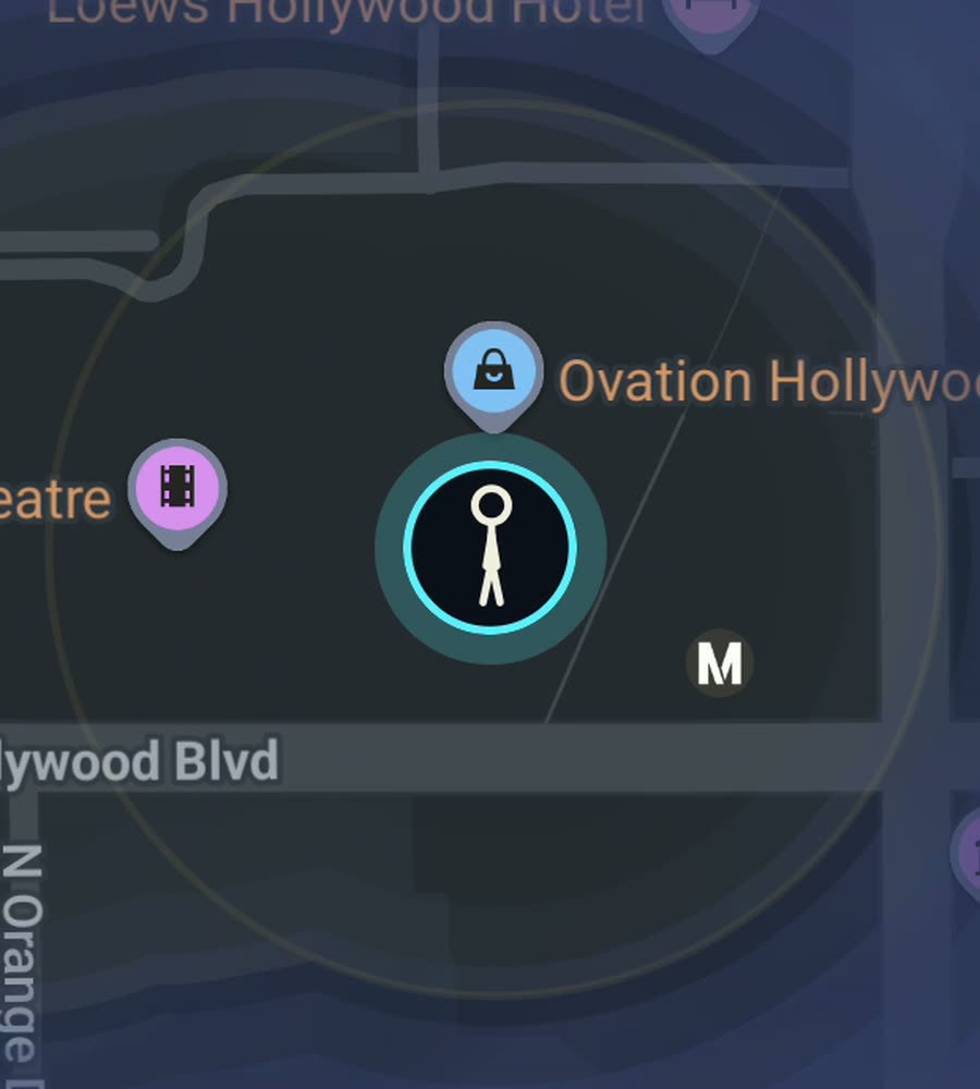
Los Angeles on the FOG map, a walked line burned clear along the Santa Monica beachfront with dark boulevard country inland.
Be honest about the scale
The City of Los Angeles covers around 1,300 square kilometres and the county is many times that. Boulevards do not stop. Sunset runs about 35 kilometres from downtown to the ocean. Wilshire is roughly 25. Ventura runs the length of the Valley. These are not streets you finish, they are streets you take a section of.
Blocks are long, sidewalks disappear and reappear, and enormous stretches of the city are strip mall frontage and parking lot with nothing to look at. Anyone who tells you LA is secretly a walking city is selling something. It has excellent walking in specific places, separated by distances that only make sense in a car.
The climate is the compensation. It is dry, it is sunny, and outside a few weeks of heat in the Valley you can walk any month of the year without thinking about it. There is no winter to sit out.
Where the walking is actually good
Downtown is the one properly gridded, properly dense part of the city. Broadway, Spring, Grand, the Historic Core, Little Tokyo, the Arts District, Grand Park and the Bunker Hill steps. It fills in fast and it feels like a real city map.
Koreatown is the densest neighbourhood in the county and its grid rewards a systematic sweep. Silver Lake and Echo Park have the public stairways, hundreds of concrete flights climbing between streets that a car cannot use at all, which are some of the most satisfying map to light anywhere in the city.
The beach is the long one. The paved path runs continuously for over thirty kilometres from Pacific Palisades through Santa Monica, Venice, Marina del Rey, Manhattan Beach and on south. Do a stretch of that plus the Venice canals and the Santa Monica streets behind Ocean Avenue and you take a serious amount of ground in an afternoon.
What your LA map ends up looking like
Islands. That is the honest shape of it. A bright patch downtown, a bright patch around wherever you live, a bright stripe along the coast, and long dark corridors between them where you drove. Nobody walks the fifteen kilometres from Silver Lake to Santa Monica, and the map shows that.
The way to make progress is to stop treating LA as one city. Pick a neighbourhood, park once, and walk it properly: Highland Park along York and Figueroa, Culver City, Pasadena's Old Town and the streets around it, Long Beach, West Adams. Each of these behaves like a small town and each one moves the number.
Griffith Park is worth its own day. At over 1,700 hectares of trails it is one of the largest urban parks in the country, and hiking it lights up a large solid block of map rather than a thin line.
One practical note: the glass canyon on Figueroa and around Bunker Hill can nudge your GPS a few metres. Everywhere else in LA the sky is wide open and the track is clean.
How FOG works
The entire world map starts under fog. Every street you physically walk is revealed permanently, and it keeps revealing with the app closed and the screen off. It works for walking, running and riding.
No account, no sign up, no cloud, no ads, no tracking. The map never leaves your phone and you can export your data. Free to explore, and one purchase of USD 5.99 unlocks unlimited ranks, every character and history import. No subscription.
Ranks climb with covered area from Wanderer to Voyager, and the app shows the percentage of the city you have lit. In Los Angeles, expect that number to stay small and to be proud of it anyway.
Questions people actually ask
Does driving reveal the map?
FOG reveals ground you cover, and it works for walking, running and riding. The point of it, in a car city especially, is the part you do on foot.
Is LA actually worth trying to fill in?
Not as a whole. As a set of neighbourhoods it is very good: downtown, Koreatown, the Silver Lake stairs, the beach path, Pasadena.
Can I import old trips?
Yes. History import reads Google Timeline exports and GPX files, and it comes with the one time unlock.
Does it track me?
No. No account, no cloud, no analytics. The map stays on the phone and you can export it.
What does it cost?
Free to explore. One purchase of USD 5.99 unlocks unlimited ranks, every character and history import. There is no subscription.
Start with a dark map.
FOG is free to explore. No account, no subscription, and your map never leaves your phone.
free to explore · one purchase unlocks everything · never a subscription