Walk Philadelphia with FOG
Philadelphia was laid out to be walked, and it still is. FOG turns that grid into something you can visibly finish, block by block.
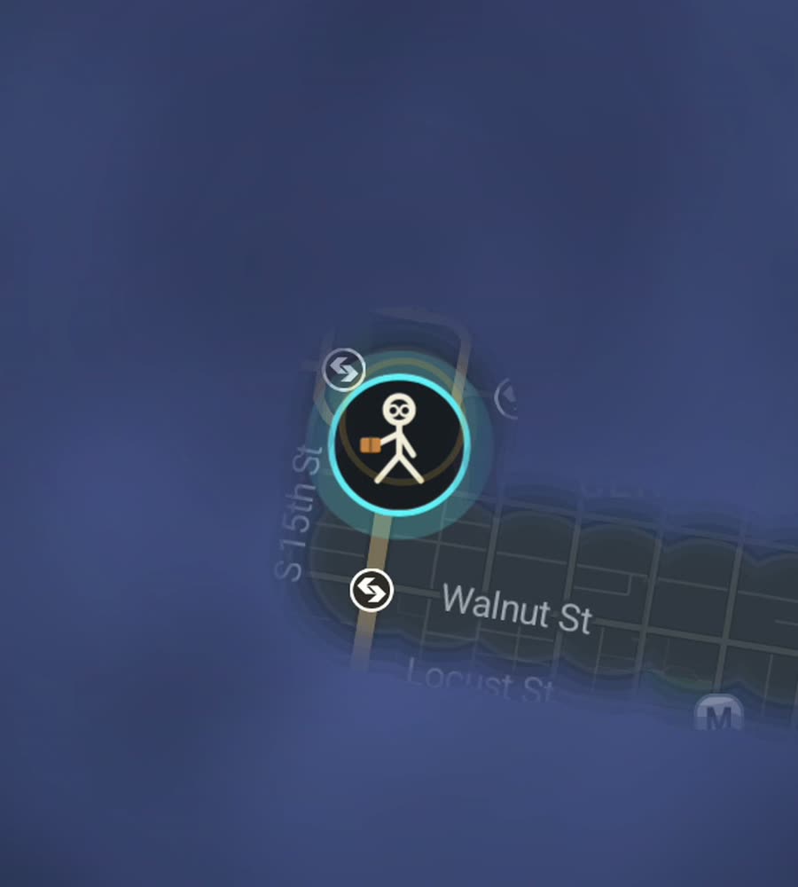
Philadelphia in FOG, with the fog burned off along a walked route across Center City.
The oldest grid in the country still works
Penn drew Philadelphia in 1682 as a rectangle between two rivers, and the logic has barely moved since. Numbered streets run north to south, counting up as you go west from the Delaware. Tree names run east to west: Chestnut, Walnut, Spruce, Pine, Locust. Market Street splits the city north from south, Broad Street splits it east from west, and City Hall sits on the crossing with William Penn on top of the tower.
Four of the five original squares are still there, Rittenhouse, Washington, Franklin and Logan, with City Hall standing where the fifth was. Center City is roughly two miles river to river and it is flat. If you want a city where the fog retreats in satisfying straight edges, this is close to the ideal case.
A crossing that clears the middle
Start at Penn's Landing on the Delaware and walk into Old City. Do the small stuff first, because the eighteenth-century blocks are full of alleys the grid does not admit to, Elfreth's Alley among them, and they are the parts that stay foggy if you only take main streets. Then follow Market or Chestnut west to City Hall.
From there swing onto the Benjamin Franklin Parkway, the one deliberate diagonal in the whole plan, and follow it past Logan Circle to the Art Museum. Come down the far side onto Kelly Drive and walk the Schuylkill bank past Boathouse Row. That is a full river-to-river traverse plus a diagonal, maybe eight or nine kilometres, and it opens the centre of the map in one line.
The neighbourhoods either side
South Philly below Center City is a dense low grid of rowhouses, and East Passyunk gives it a spine to work from. Fishtown and Northern Liberties sit north along the Delaware, walkable and getting more so. Fairmount runs up behind the Art Museum. Across the Schuylkill, University City is a different feel entirely, campuses and wide streets, and it reaches West Philly beyond.
Fairmount Park is the wildcard. It is enormous, running along both banks of the Schuylkill and up the Wissahickon into a gorge with unpaved trails. Those trails reveal like anything else, and a long day up the Wissahickon clears a shape that looks nothing like the rest of your Philadelphia map.
How far the percent actually goes
Center City flatters you. It is small, gridded and easy, and the first few weeks move the number quickly. Then the rest of the city arrives: Northeast Philadelphia is huge and low-density, Southwest and the far north are long car-scaled distances, and those areas are the majority of the municipal area. Expect the percent to stall and to stay stalled unless you deliberately go out there.
Weather is a straightforward story. July and August are humid and heavy, January and February are cold with wind funnelling down the numbered streets, and spring and autumn are close to perfect. Buildings are tall enough around Market East to nudge the GPS a little, though nothing like a real high-rise canyon, and tracks generally come out clean. Background exploring records with the phone pocketed.
Questions people actually ask
Does the grid make this easy to complete?
Center City yes. The wider city is large and spread out, so the overall percent climbs slowly no matter how efficient your routes are.
Do the Wissahickon trails reveal?
Yes. FOG works anywhere on Earth, on trails as much as streets, walking, running or riding.
What does 5.99 USD get me?
One purchase, no subscription: unlimited ranks, every character, and history import from Google Timeline exports and GPX files.
Where is my data stored?
On your phone only. No account, no sign-up, no cloud, no analytics, no ads. You can export your own data.
Start with a dark map.
FOG is free to explore. No account, no subscription, and your map never leaves your phone.
free to explore · one purchase unlocks everything · never a subscription