Walk Berlin and pull the fog off it
FOG hides the whole world and returns only what you have walked. Berlin is flat and far bigger than it looks, which makes clearing it a long, honest job.
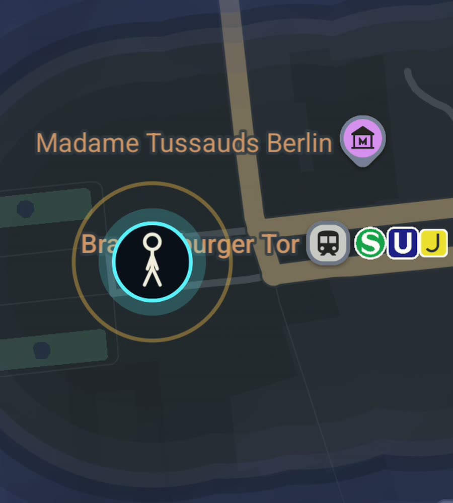
Berlin on the FOG map, with the fog burned away along a walked route through Kreuzberg and the Tiergarten.
Flat, and much bigger than it looks
Berlin is essentially flat. The exceptions are almost jokes: Viktoriapark's small hill in Kreuzberg, the rubble mound of Teufelsberg out west, a gentle rise through Prenzlauer Berg. Nothing here will tire your legs on gradient.
Distance will. Berlin covers nearly nine hundred square kilometres and the streets are wide, the blocks are long, and the scale on the map lies to you constantly. Two U-Bahn stops that look adjacent are a twenty five minute walk. Crossing from Neukolln to Wedding on foot is most of a morning. This is the single most useful thing to understand before you start trying to clear it: the city is not dense, it is spread, and every district behaves like its own town.
The climate gives you a long season and a hard stop. Spring to early autumn is close to perfect for walking, dry and mild with light until ten at night in June. Then the grey arrives and stays, dark by four, wet rather than dramatically cold. Berliners keep walking through it anyway.
The districts, and how they differ underfoot
Mitte is the formal centre: Unter den Linden, the museum island, and behind it the wide streets around Torstrasse. East of it, Karl-Marx-Allee runs as an enormous socialist boulevard toward Friedrichshain, so oversized that walking one block feels like three anywhere else.
Kreuzberg and Neukolln are the tight, busy walking. Oranienstrasse, Bergmannstrasse and the long run of Sonnenallee all reward being done on foot end to end. Prenzlauer Berg keeps its nineteenth century blocks and cobbled side streets around Kollwitzplatz and Kastanienallee. Charlottenburg out west is grander and quieter, built around Kurfurstendamm.
The two great open spaces change the map's shape entirely. Tiergarten is a forest in the middle of the city with paths going every direction. Tempelhofer Feld is a decommissioned airport left as open ground, and you can walk the actual runways, which clears an enormous fan of map in a single visit.
A route along the water
Start at Kottbusser Tor and drop down to the Landwehr Canal. Follow the towpath west with the water on your right, past Urbanhafen and the Turkish market stretch, all the way to Schoneberger Ufer. Cut north through Gleisdreieck park, come out at Potsdamer Platz, then walk into the Tiergarten and take any of the diagonal paths to the Brandenburg Gate.
About eight kilometres, entirely flat, mostly off traffic, and it draws a long continuous line straight across the middle of the city. If you want the other kind of day, walk Tempelhofer Feld's full perimeter path instead, roughly six kilometres of open sky.
What the cleared map looks like here
Berlin's blocks are large and the courtyards behind them are private, so your lit map stays street shaped and sparse for a long time. It does not fill in as a spreading stain the way a medieval core does. It looks like a diagram of the routes you actually use, which is more revealing than flattering.
A good tactic is to use the Ringbahn as a boundary and work inside it first. The area inside the ring is roughly the walkable city, and finishing individual neighbourhoods within it, Graefekiez, the Bergmannkiez, Samariterviertel, is achievable in a way that finishing Berlin is not.
FOG keeps revealing with the app closed and the screen off, so a commute on foot counts without any effort. Ranks climb with the area covered, from Wanderer up through Voyager, and Berlin has enough area to keep that honest. No account, no cloud, no analytics, no ads. The map stays on your phone and you can export it.
Questions people actually ask
Is Berlin a good city to try this in?
Yes, with the caveat that it is very large. Progress is obvious at neighbourhood scale and slow at city scale. Working inside the Ringbahn first makes it feel achievable.
Does walking Tempelhofer Feld count?
Yes. It is ground you physically crossed, and the runways and perimeter path clear a wide area quickly compared to normal streets.
Will it keep recording in winter with my phone in a coat pocket?
Yes. Background exploring keeps revealing the map with the app closed and the screen off.
What does it cost?
Free to explore. One purchase of USD 5.99 unlocks unlimited ranks, every character and history import. There is no subscription.
Can I import years of past movement?
Yes, with the paid unlock. FOG imports Google Timeline exports and GPX files, which for a long term resident can light up a great deal of Berlin at once.
Start with a dark map.
FOG is free to explore. No account, no subscription, and your map never leaves your phone.
free to explore · one purchase unlocks everything · never a subscription