Walk Boston and burn off the fog
The whole map starts hidden. FOG clears only what you have walked yourself, and Boston is small enough that you can genuinely make a dent in it.
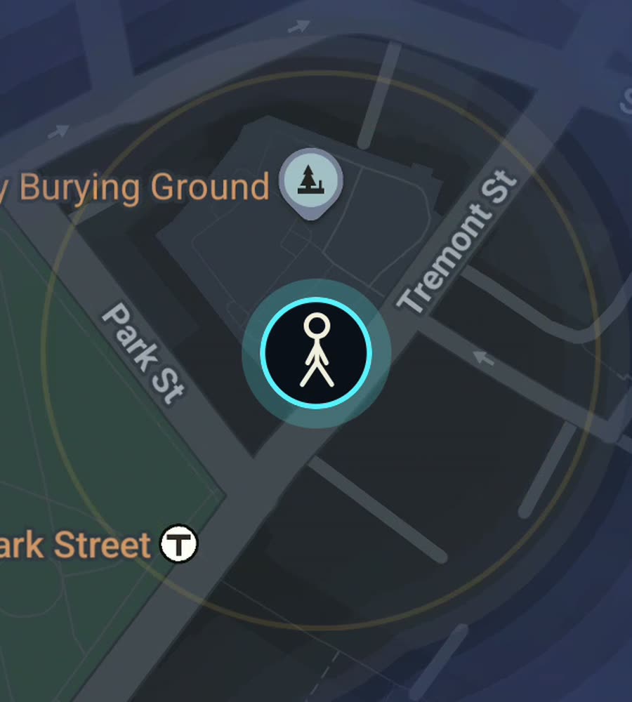
Boston on the FOG map, fog cleared along a walked route over Beacon Hill and out along the Charles.
A colonial tangle with one grid dropped into it
Most American cities were drawn with a ruler. Boston mostly was not. The downtown street pattern predates the country and it shows: Washington Street bends, State Street runs at an angle to everything near it, and the lanes around Faneuil Hall and the North End meet at whatever angle the seventeenth century found convenient. You cannot navigate it by counting blocks. You navigate it by landmark and by giving up and walking a bit further.
Back Bay is the correction. It was built on filled tidal flats in the nineteenth century as a proper grid, and its cross streets run in alphabetical order from the Public Garden outward: Arlington, Berkeley, Clarendon, Dartmouth, Exeter, Fairfield, Gloucester, Hereford. Commonwealth Avenue runs down the middle with a tree lined mall, Newbury and Boylston either side. It is the easiest ground in the city to clear methodically, and after the tangle downtown it feels almost restful.
The South End next door is another grid, this one of Victorian bowfronts and small residential squares, and it is one of the best plain walking neighbourhoods in the country.
Hills, water and the winter problem
Beacon Hill is the real gradient in central Boston: brick footpaths, gas lamps, and steep enough that the cobbles of Acorn Street are genuinely awkward underfoot. Charles Street runs along its base and links the Common to the river.
Water shapes the rest. The Charles River Esplanade gives you a continuous car free path along the north edge of the city, and the bridges let you make loops: the Longfellow across to Kendall Square in Cambridge, the Harvard Bridge back over to Massachusetts Avenue, its length famously marked out in smoots. On the harbour side the Harborwalk threads along the waterfront through the Seaport.
Then there is winter. It is a real constraint, not a detail. From January into March the footpaths ice, the snowbanks at crossings can be waist high, and daylight is gone by half four. Boston walking has a season, and locals plan around it.
A loop that clears a lot at once
Start on Boston Common, cross into the Public Garden, then climb Beacon Hill and come down Charles Street. Take the Longfellow Bridge over to Kendall Square, turn left along the Cambridge bank, and come back over the Harvard Bridge. Drop onto the Esplanade and follow the river east until you can cut back in at Arlington Street.
That is about nine kilometres, one real hill, two river crossings, and it clears both banks plus the whole northern edge of Back Bay in a single afternoon. If you want the historical version instead, the Freedom Trail is a red line set into the pavement running roughly four kilometres from the Common through the North End to Charlestown, and it will pull you through the oldest and most tangled streets without any navigation at all.
Why the fog clears fast here
Boston is unusually completable. The core sits on a small peninsula, the neighbourhoods are dense and adjacent, and there is very little dead space between them. Walk consistently for a few weeks and the city percentage moves in a way that most large cities simply cannot match. Filling in a whole neighbourhood, the North End, Beacon Hill, the South End, is a weekend rather than a campaign.
One honest note. In the Financial District the streets are narrow and the towers are tall, which is the classic setup for the signal bouncing, so a trace through those few blocks can wander slightly before settling. Everywhere else the map draws cleanly.
FOG keeps revealing with the app closed and the screen off, which matters in February when the phone is staying in a pocket. Ranks climb with the area covered, and the map never leaves the device: no account, no cloud, no analytics, no ads, no tracking.
Questions people actually ask
Is Boston a good city for a fog of war map?
One of the better ones. It is compact, dense and walkable, so the cleared area grows fast and finishing a whole neighbourhood is realistic.
Does winter get in the way?
It genuinely does. Ice, snowbanks and early darkness shorten the walking season from January into March. The app does not mind, your feet will.
Does it record with the app closed?
Yes. Background exploring keeps revealing streets with the app closed and the screen off.
Can I import walks I already logged?
Yes, with the paid unlock. FOG imports Google Timeline exports and GPX files, so old runs and years of movement can be added at once.
What does it cost?
Free to explore. One purchase of USD 5.99 unlocks unlimited ranks, every character and history import. There is no subscription.
Start with a dark map.
FOG is free to explore. No account, no subscription, and your map never leaves your phone.
free to explore · one purchase unlocks everything · never a subscription