Walk Chicago, clear the grid
Chicago is the most legible grid in America, and that makes it a strange place to fill in. The lines are obvious. The work is not.
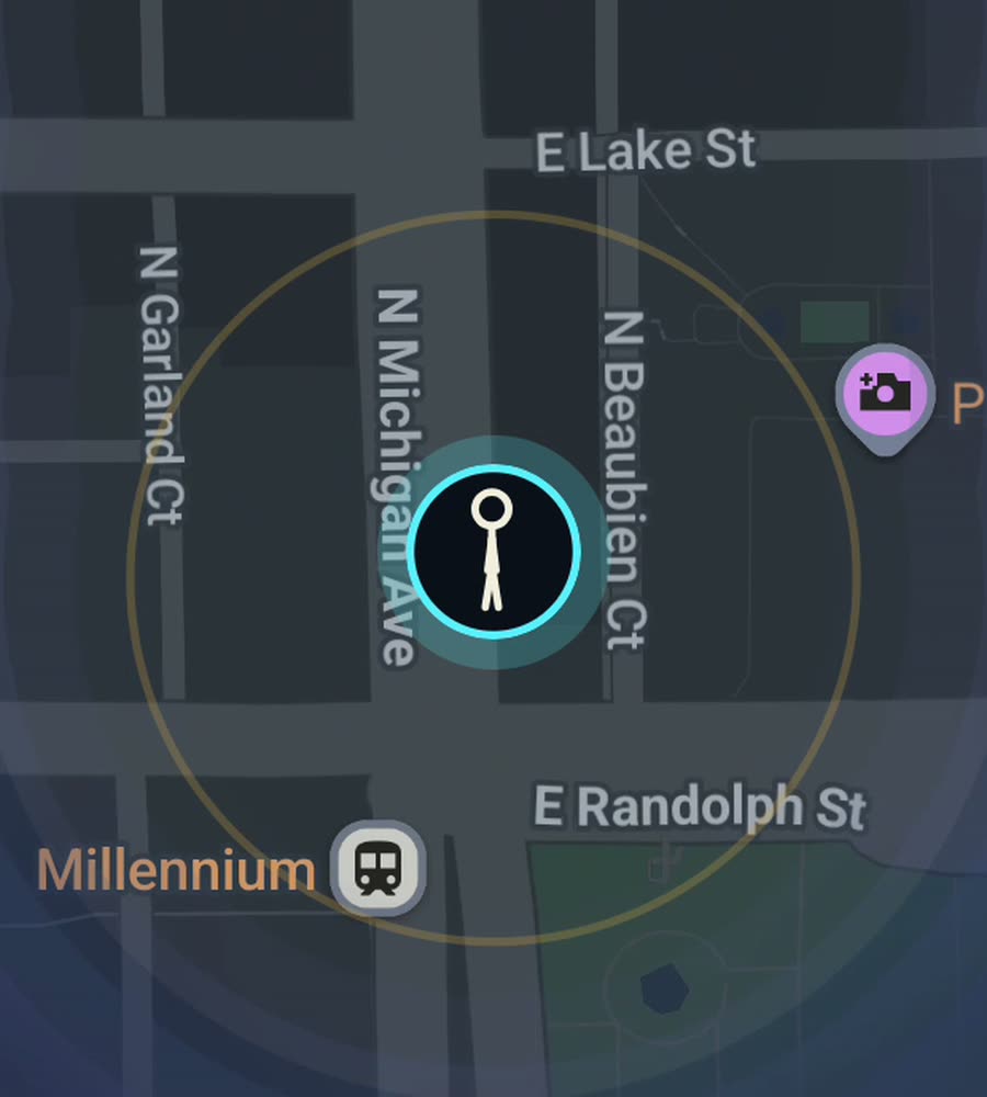
Chicago on the FOG map, with the fog burned off along a walked route through the Loop and up the lakefront.
The grid does not lie
Chicago runs on a numbered grid centred on State and Madison. Eight blocks to the mile, north, south and west, with the lake closing the east side. Once you understand that, you can find anything without a phone. Madison is zero north-south. State is zero east-west. Everything else counts outward in hundreds. Roosevelt is 1200 south. North Avenue is 1600 north. Western is 2400 west.
What the grid does to fog-clearing is unusual. In a medieval city you wander and the shape emerges. Here the shape is already in your head, so what you see on the FOG map is your own discipline made visible. Walk one avenue for two miles and you get a single clean stripe. Walk a neighbourhood properly, every side street, and you get a solid filled rectangle that took a whole afternoon. The difference between those two is honest and slightly humbling.
A route that fills in fast
Start at the Chicago Cultural Center on Michigan Avenue and walk south along Grant Park to Roosevelt. Cut west into the South Loop, then north again through Printers Row on Dearborn. Loop back over the river at Wells and keep going into River North. That is a compact box, maybe five miles with the detours, and it lights up as a dense block rather than a thread.
For a longer day, the Lakefront Trail runs about eighteen miles from Ardmore in Edgewater down to South Shore. It is flat, uninterrupted and beautiful, and on the map it produces a long curved line hugging the shore with nothing behind it. Satisfying, but it is a stripe, not territory. The 606, the elevated trail built on old rail line from Wicker Park through Humboldt Park, does the same trick at three miles.
If you want real area, pick a neighbourhood and do it street by street. Pilsen along 18th. Andersonville along Clark. Bronzeville around King Drive. Logan Square around the boulevard and its spokes. Each one is a couple of hours and each one fills a genuine patch.
Winter is a real constraint
There is no point pretending. January and February in Chicago are a wind problem more than a temperature problem, and the wind comes off the lake and down the north-south avenues without anything in the way. Some weeks you will not walk. The map does not go anywhere while you wait, and everything you cleared last summer is still cleared.
The upside is that April through November is close to ideal walking weather, and Chicago is flat. Genuinely flat. There is no hill anywhere in the city worth the name. You can put in ten miles without your legs registering elevation at all, which is not true of San Francisco or Pittsburgh.
The Loop and the towers
One honest note. In the Loop, between Wacker and Congress, the buildings are tall and tightly packed and the streets are narrow relative to the height around them. GPS bounces off glass in that environment. Your trace can wander a block sideways under the L tracks on Wabash or in the canyon on LaSalle. Everywhere else in the city it behaves.
FOG keeps revealing with the app closed and the screen off, so you do not need to hold the phone out. Put it in a coat pocket and walk. When you get home the streets you covered are permanently clear. Chicago also gives you a city percentage, which for a city of 234 square miles starts out looking like a rounding error and stays that way for a long time. That is the point.
Questions people actually ask
How long would it take to walk all of Chicago?
Years, realistically. The city covers roughly 234 square miles with about 4,000 miles of street. Most people clear their own neighbourhood, their commute, and the places they visit, and the percentage creeps up from there.
Does the Lakefront Trail count?
Yes. FOG reveals wherever you physically walk, run or ride, trail or street. The trail clears as a long line along the shore.
Will the L or the Metra clear track?
FOG is meant for walking, running and riding. Vehicle travel is not what it is for, and the point of the map is the ground you covered on your own feet.
What does the paid unlock include?
One purchase, 5.99 USD, no subscription. It unlocks every rank, every character, and history import from Google Timeline exports or GPX files, so old Chicago walks you already logged can be added.
Does FOG send my Chicago walks anywhere?
No. There is no account, no sign-up, no cloud, no analytics, no ads and no tracking. The map stays on the phone, and you can export your own data.
Start with a dark map.
FOG is free to explore. No account, no subscription, and your map never leaves your phone.
free to explore · one purchase unlocks everything · never a subscription