Walking Minneapolis until the fog lifts
FOG starts with the whole world hidden and clears only where you have physically been. Minneapolis is one of the tidier cities to do that in, as long as you are honest about the six months when nobody wants to be outside.
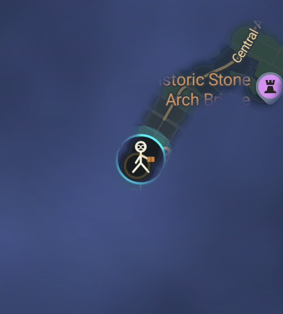
Minneapolis on the FOG map, with the fog burned off in a closed loop around a lake and a line crossing the Mississippi.
A grid, a river, and a set of lakes
Minneapolis is mostly a plain rectangular grid, with one twist. Downtown is rotated about forty five degrees so its streets run parallel to the Mississippi, and where that rotated block meets the north to south grid of the rest of the city you get a seam of odd triangular junctions. It is a small thing but you feel it while walking, and it shows on the map afterwards.
The river runs through the northeast side of downtown, dropping over the only waterfall on the Mississippi at Saint Anthony Falls. West and south of the centre sit the lakes, Cedar Lake, Lake of the Isles, Bde Maka Ska and Lake Harriet, strung together by the parkways of the Grand Rounds. The ground is gently rolling, never steep.
That combination gives you two very different ways to fill in fog, and both are worth doing.
Two routes that do the job
The first is the Stone Arch Bridge loop. Start at Mill Ruins Park below the old flour mills, walk out across the Stone Arch Bridge with the falls upstream, continue into Saint Anthony Main on the east bank, then come back over the Hennepin Avenue Bridge and up through the Mill District. It is short, three or four kilometres, and it closes a neat ring across the river.
The second is the lakes. Lake of the Isles and Bde Maka Ska sit next to each other and are joined by a channel, and the paved paths around them make a figure of eight of roughly nine kilometres. Because they are closed loops, they draw as complete rings on the map, which is a more satisfying shape than any amount of straight line walking.
Extend either one along Minnehaha Creek to Minnehaha Falls if you want a long day.
The skyway problem
Downtown Minneapolis has an extensive skyway network, an enclosed second level of walkways connecting buildings for several miles. In winter it is how people actually get around, and in a fog map it is a genuine complication. You are indoors and one storey up, which is not where a phone gets its cleanest position fix, so a skyway route can come out looser than a street level one.
If you want downtown properly lit, walk it outside. Nicollet Mall, the pedestrian spine, is the obvious place to start, and Washington Avenue and Hennepin give you the cross streets. Save the skyways for January when the alternative is frostbite.
Around the tallest towers the same caution applies as in any high rise core. It settles once you are on an open block.
The season is the constraint
Winter here is not a mild inconvenience. Temperatures well below freezing for months, snow that stays, and sidewalks that turn to sheet ice. Some people walk all the way through it and some do not, but either way the honest picture is that the map fills in bursts. From roughly April to October you can cover serious ground, and from November to March progress slows a great deal.
Summer is warm and humid with real mosquitoes near the water at dusk. Autumn is the best walking of the year.
Neighbourhoods worth targeting outside downtown are Northeast around Central Avenue, Uptown, Dinkytown by the university and the streets around Lake Harriet. All are regular grids, so they clear predictably.
FOG keeps revealing with the app closed and the screen off, which is useful when your phone is buried under a coat.
Questions people actually ask
Do the skyways get recorded?
They are indoors and above street level, which is where a phone position is least reliable, so results there are looser than on the street. Walk downtown outside if you want it clean.
What is the most satisfying route to walk?
The lake loops. Lake of the Isles and Bde Maka Ska are closed circuits, so they draw as complete rings on the map rather than open lines.
Is Minneapolis realistic to fill in?
The city proper is a compact, regular grid, so it is more achievable than most American cities. Winter is what slows it down, not the layout.
Does FOG track me or need a login?
No. There is no account, no cloud, no ads and no analytics. The map stays on your phone and you can export your data.
Start with a dark map.
FOG is free to explore. No account, no subscription, and your map never leaves your phone.
free to explore · one purchase unlocks everything · never a subscription