Walking Denver with FOG
Two grids at 45 degrees to each other, a mile of altitude, and creek trails running through the middle of it. Denver is a tidy city to uncover.
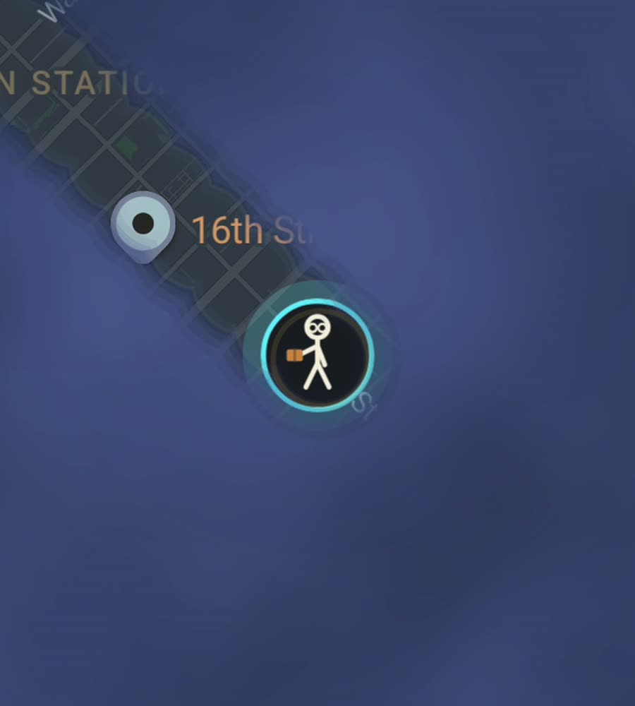
Denver on the FOG map, fog burned off along a walked route through downtown and the creek trails.
A grid, and another grid on top of it
Denver has two street grids and the join between them is the interesting part. Downtown was laid out square to the South Platte River, so it sits at about 45 degrees to everything else. The rest of the city runs true north and south, numbered avenues one way and named streets the other. Broadway and Colfax are the two long lines holding it together, and Colfax runs for miles in both directions without really stopping.
This reads immediately on a fog map. The downtown streets come out as a diamond wedged into an otherwise square city, and the seam where the two grids meet, around Speer Boulevard, is a run of odd triangular blocks.
The mile of altitude
Denver sits at about 1,600 metres. The city is flat to gently tilted, rising slowly westward until the Front Range gets in the way, so the effort is not in the climbing. It is in the air. Arriving from sea level, your first few long walks feel harder than the elevation profile suggests, and you will want more water than you expect.
The weather is dry and bright most of the year. Snow falls and then goes within a day or two, which makes winter walking more workable here than in most cold cities. Summer afternoons build thunderstorms, so mornings are the safer bet in July and August.
An afternoon along the water
Start at Confluence Park where Cherry Creek meets the South Platte, then follow the Cherry Creek trail southeast under the bridges. Come up at Speer and Larimer, walk through Larimer Square and LoDo, take 16th Street to Broadway and turn into Capitol Hill past the State Capitol. Finish in the streets around Cheesman Park, or carry on to City Park. Around eight kilometres, crossing four neighbourhoods that look nothing like each other.
For a second day, do a loop of Washington Park, then walk north through Baker and over the interstate into the Highlands.
How the fog comes off
A regular grid is the friendliest thing that can happen to a fog map. Blocks are large in Denver, which cuts both ways. You cover distance fast on a straight avenue, but you leave wide unlit rectangles behind you, and the only way to close them is to zigzag. Walk every other street and come back on the ones between.
The centre fills quickly. The suburbs east and south are a different job, built around arterials and cul-de-sacs, and on foot they are slow going. Denver is a car city with a walkable middle, and the map shows exactly where the line falls.
What FOG is doing meanwhile
FOG starts with the entire world hidden. Streets clear only when you physically walk them, and they stay clear. It handles walking, running and riding, and background exploring keeps it running with the screen off, which matters on a long trail day when the phone is put away.
Nothing leaves the device: no account, no sign-up, no cloud, no analytics, no ads, no tracking, and you can export your data. If you have years of Google Timeline history or GPX files from runs, history import will fill in ground you already covered. That, unlimited ranks and every character come with a single USD 5.99 purchase. No subscription.
Questions people actually ask
Does the altitude affect anything besides my legs?
Not for the app. Denver's elevation has no bearing on how streets are recorded. It only means your first long walks will feel harder than the distance suggests.
Can FOG use my old Strava or Google Timeline routes?
History import reads Google Timeline exports and GPX files. It comes with the one-time unlock.
What does the paid unlock cost?
USD 5.99, once. It unlocks unlimited ranks, every character and history import. There is no subscription of any kind.
Is my Denver map sent anywhere?
No. There is no account and no cloud. The map stays on your phone, and you can export it yourself.
Start with a dark map.
FOG is free to explore. No account, no subscription, and your map never leaves your phone.
free to explore · one purchase unlocks everything · never a subscription