Kyoto fills in like graph paper
FOG hides the entire world map until you walk it. Kyoto is the most satisfying place on Earth to do that, because the city has been laid out on a grid since 794 and every block you clear is a clean straight line.
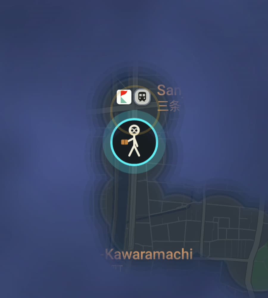
Kyoto on the FOG map, with fog cleared along a walked route down the Kamo riverbank and east into Higashiyama.
The grid, and where it stops
Kyoto was laid out on a Chinese-style grid and it has largely kept it. The east-west streets are numbered, so Sanjo is third, Shijo is fourth, Gojo is fifth, and once you understand that you can navigate the centre without looking at anything. Karasuma and Kawaramachi run north-south. Oike cuts across. The blocks are small, the corners are square, and the whole thing is flat.
The Kamo River runs north to south through the middle of it with wide grassy banks on both sides that you can walk continuously for kilometres. It is the single best piece of walking infrastructure in the city and it costs you nothing in navigation.
Then the grid stops. On three sides Kyoto runs into mountains, and where the flat ground ends the streets turn into temple approaches, stone stairs and wooded paths. Higashiyama in the east, Arashiyama in the west, and the ridge above Kurama in the north are all places where the tidy rectangles give up.
One afternoon, a lot of map
Start on the Kamo bank at Demachiyanagi where the two rivers meet, and walk south. Come up at Sanjo, cross the bridge, and walk through Pontocho, an alley so narrow that two people have to negotiate. Continue to Shijo, cross into Gion, and go down Hanamikoji.
From Gion climb into Higashiyama: Nene no Michi, Ninenzaka, Sannenzaka and up to Kiyomizu-dera. Come back north along the base of the hills to Nanzen-ji and take the Philosopher's Path, a canal-side walk of about two kilometres lined with cherry trees that ends at Ginkaku-ji.
That is roughly ten to twelve kilometres, it is almost entirely on foot by necessity, and it gives you a bright grid in the centre with a ragged eastern fringe climbing into the hills. Another day, do the Imperial Palace park, Nishiki Market and the north-south avenues, which fill in fast because they are dead straight.
Why filling Kyoto is so satisfying
Grid cities reward this kind of map better than anything else. Every walk you do closes a rectangle. There are no wasted diagonals, no dead ends, no accidental doubling back, and the gaps between what you have cleared are obvious at a glance, which makes planning the next walk trivial: you just pick a street you have not done and walk it end to end.
The centre is also compact. Between the Imperial Palace park and Kyoto Station, and between Karasuma and the river, is a very walkable rectangle. Serious walking for a week and you will have a solid lit block in the middle of your map with clean edges.
The mountains are where it turns hard, and honestly they never finish. Temple grounds have dozens of small paths, and Fushimi Inari alone is a mountain covered in switchbacking torii tunnels. You can spend an afternoon there and reveal a tangle rather than a shape.
Season and honest notes
Kyoto sits in a basin and it is brutal in high summer. July and August are humid and heavy and long walks are genuinely unpleasant in the middle of the day. Winter is cold but dry and clear, and it is underrated for this. Cherry blossom season and the November autumn colours are beautiful and extremely crowded, which slows walking down more than you expect.
The centre is low-rise and open, so GPS is well behaved. Under dense temple forest at Fushimi Inari or in Arashiyama's bamboo, the track can soften a little.
Background exploring keeps revealing with the app closed and the screen off, which matters here because you will be looking at buildings, not at a phone.
What FOG is
The whole world starts hidden under fog. Every street you physically walk is revealed permanently. It is the same map everywhere, for walking, running or riding.
Free to explore. One purchase of USD 5.99 unlocks unlimited ranks, every character and history import, and there is never a subscription. Ranks climb with area covered: Wanderer, Scout, Pathfinder, Explorer, Voyager. The collection holds 241 countries, 3,390 regions and 7,342 named places, added only by physically standing in them. For any city you have walked, FOG shows the percentage of it you have lit.
No account, no sign-up, no cloud, no analytics, no ads, no tracking. The map never leaves your phone and you can export your data.
Questions people actually ask
Is Kyoto a good city for a fog of war map?
It is one of the best. The grid is flat, small-blocked and regular, so cleared area comes out in clean rectangles and the gaps are easy to spot.
Do the temple paths count?
Anything you physically walk is revealed. Mountain paths at Fushimi Inari or Arashiyama reveal the same way streets do, they just make a messier shape.
Does FOG include Kyoto temple information?
No. There are no guides, curated routes or city-specific features. It is only a map that hides everything until you walk it.
Can I import old Japan trips?
Yes, if you have Google Timeline exports or GPX files. History import comes with the one-time unlock.
Does it work without a Japanese SIM?
The map lives on the phone and there is no account or cloud, so it works the same regardless. GPS does not need a data connection.
Start with a dark map.
FOG is free to explore. No account, no subscription, and your map never leaves your phone.
free to explore · one purchase unlocks everything · never a subscription