Walk Tokyo and watch the fog give way
Tokyo is the city that most rewards walking and least rewards trying to finish. The map starts fully covered. Every street you walk is revealed permanently.
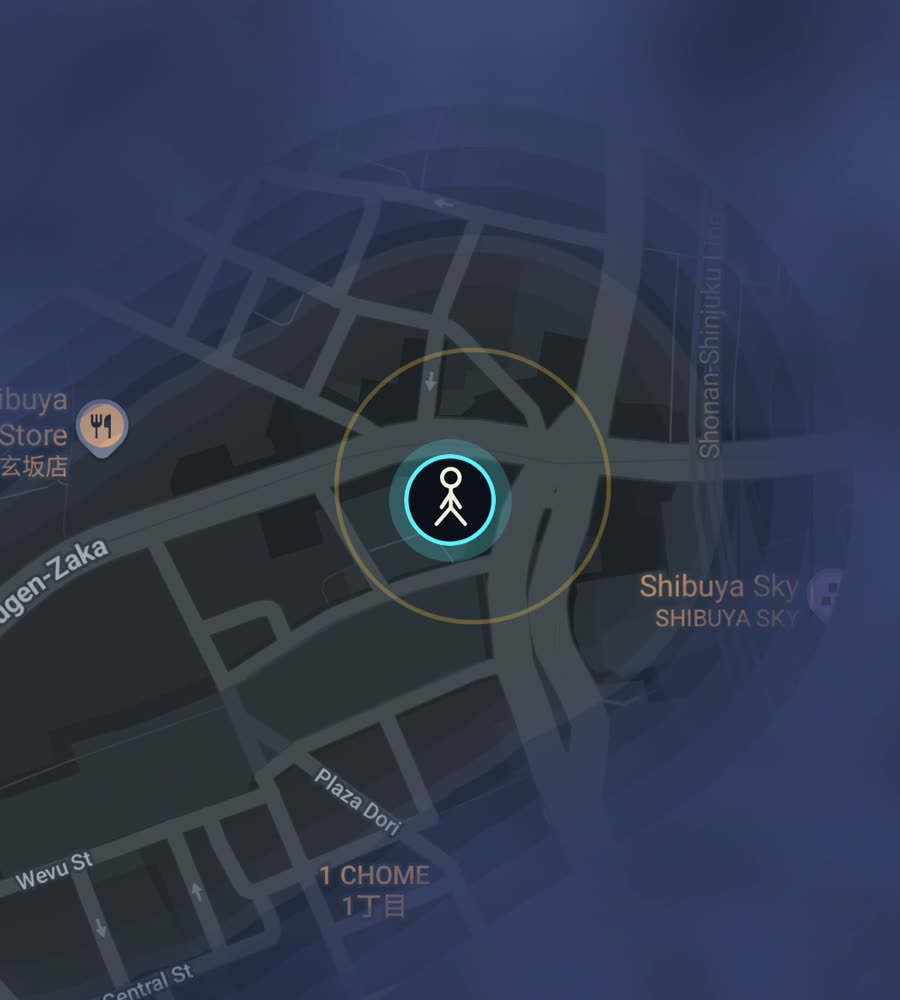
Tokyo on the FOG map, with the fog burned off along a walked route out of Shibuya and north through the backstreets to Harajuku.
A city with almost no street names
Tokyo does not work like a grid city and it does not really work like a European old town either. Most streets have no names. Addresses are built from wards, districts and block numbers, so the mental map everyone carries is made of stations, not intersections. The Yamanote loop is the frame, and the neighbourhoods hang off it: Shibuya, Shinjuku, Ikebukuro, Ueno, Tokyo, Shinagawa.
Underneath the big roads is a second city of lanes barely wide enough for a delivery bike, lined with houses, vending machines and small bars. That layer is where the walking distance actually is. The terrain matters too. The western side of the Yamanote is hilly, cut by small valleys and stairways, while the old shitamachi east towards the Sumida is flat river land.
An afternoon that draws a clean line
The obvious one is good for a reason. From the Shibuya scramble, head north on Cat Street, the old culverted riverbed that runs behind the main roads to Harajuku, then cross into Meiji Jingu and out through Yoyogi Park. Come back down Omotesandō and dive into the lanes off it. Two or three hours, and you clear a dense wedge of the west side.
For the other Tokyo, walk the Sumida from Asakusa south past the bridges, or spend an afternoon in Yanaka where the lanes still follow their old lines and nothing is straight. The moat loop around the Imperial Palace is about five kilometres and gives you one neat closed ring in the middle of your map, which looks better than it has any right to.
You will not finish Tokyo
Say it plainly. The built-up area runs for tens of kilometres in every direction and the street network inside it is one of the densest on Earth. Nobody clears Tokyo. What actually happens is that your map grows as a set of blots around the stations you use, and over months those blots start to touch and become a shape.
That is the pleasure of it here. City percent moves in small increments and each one is earned. The alleys are what move it, not the arterials, so the walks that feel least productive tend to be the most productive. The rivers and the bay give your cleared ground real edges, and the flat east fills faster than the hilly west because you cover more ground per hour.
Practical notes
Summer in Tokyo is hot and heavily humid, and the walking gets unpleasant from July into September. Autumn is the reward. Winter is cold, dry and clear, and perfectly good for covering distance. The rainy season in June is survivable with an umbrella, which everyone carries anyway.
In the tower canyons of Shinjuku, Shibuya and Marunouchi the position can wander a bit, and the endless underground concourses mean you sometimes cover a few hundred metres that never make it onto the map. Walk the surface if you care about the trace. Background exploring keeps it filling with the app closed and the screen off.
Free to explore. One purchase of USD 5.99 unlocks unlimited ranks, every character and history import from Google Timeline exports or GPX files. No subscription.
Questions people actually ask
Does the underground walking count?
Usually not. Long subterranean concourses do not give the phone a reliable fix, so those stretches may not be revealed.
Can I import years of old Tokyo walking?
Yes. History import handles Google Timeline exports and GPX files, and it is part of the one-time unlock.
Does FOG know Tokyo neighbourhoods?
It counts named places you have physically stood in, out of 7,342 worldwide, along with 241 countries and 3,390 regions. There are no city-specific features.
Is my data sent anywhere?
No. No account, no cloud, no analytics, no ads. The map stays on the phone and you can export it.
Start with a dark map.
FOG is free to explore. No account, no subscription, and your map never leaves your phone.
free to explore · one purchase unlocks everything · never a subscription