Walk New Orleans and finish the French Quarter
FOG hides the whole world map under fog. Every street you physically walk here is revealed and stays revealed. No account, no cloud, no tracking.
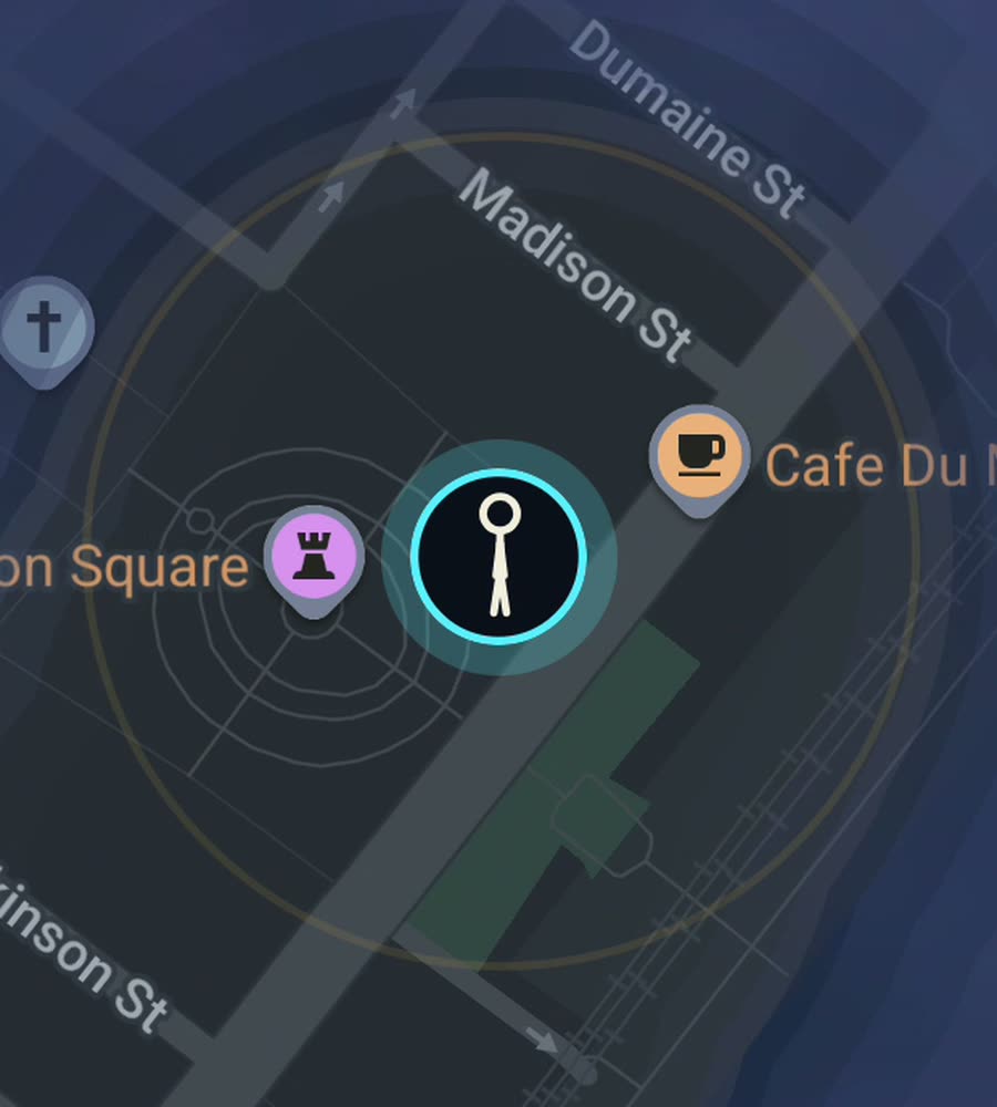
New Orleans in FOG, with the fog burned off across the French Quarter grid and along a walked stretch of the riverfront.
A grid that follows the river
New Orleans sits inside a bend of the Mississippi, which is why locals give directions as uptown, downtown, riverside and lakeside rather than north and south. The street grid was laid out against the river bank, so as the river curves the grid fans out with it. Blocks that start as neat rectangles in the French Quarter open into wedges by the time you are uptown, and a street you thought was straight quietly changes bearing under your feet.
The Quarter itself is the exception, and the gift. Thirteen blocks by six, dead regular, bounded by Canal Street, Rampart, Esplanade and the river. Royal, Bourbon, Chartres and Decatur run the length of it. Beyond Esplanade the Marigny and Bywater carry on in the same fine grain, and Tremé sits behind Rampart around Congo Square.
The walk that fills the most map
Start on Esplanade Avenue under the oaks and walk down to the river. Then work the French Quarter properly, up one street and back the next: Decatur, Chartres, Royal, Bourbon, Dauphine, Burgundy. Six passes and you have cleared the entire Quarter, which is the single most satisfying thing you can do with this app in this city, because the finished rectangle is unmistakable.
Come out at Esplanade again, cross into the Marigny for Frenchmen Street, then carry on into Bywater and pick up Crescent Park along the water. On another day take the long lines instead: Magazine Street runs miles uptown through the Garden District, and St Charles Avenue runs parallel under the oaks with the streetcar beside you, out to Audubon Park.
Flat ground, difficult weather
There is no hill in this city, which makes distance easy. What slows you down is everything else. Live oak roots buckle the sidewalks into steps and ridges, so uneven pavement is normal rather than exceptional. Summer humidity is genuinely oppressive from June through September, hurricane season overlaps it, and the sensible response is to walk early or walk in winter and spring, which are excellent.
The fog behaves in two distinct ways here. Downtown, the tight regular grids of the Quarter, Marigny and Tremé fill in quickly and look complete. Uptown, because the streets fan with the river bend, your walks curve and the lit area spreads in a wedge rather than a square. Long avenues like Magazine and St Charles reward you with several miles of ribbon at a time, and the Lakeview and eastern neighbourhoods are a much longer project.
How the app works
FOG is a fog of war walking map. The entire world starts hidden and only what you physically walk gets revealed, permanently. Background exploring keeps it running with the app closed and the screen off.
Exploring is free. A single purchase of USD 5.99 unlocks unlimited ranks, every character and history import, and there is no subscription. Ranks climb with the area you cover: Wanderer, Scout, Pathfinder, Explorer, Voyager. City percent tells you what share of New Orleans you have lit. The collection covers 241 countries, 3,390 regions and 7,342 named places, all of them earned by standing there.
No account, no sign-up, no cloud, no analytics, no ads, no tracking. The map never leaves your phone, and you can export your data.
Questions people actually ask
Can I actually complete the French Quarter?
Yes. It is thirteen blocks by six, so a long afternoon of walking up and down the streets clears the whole rectangle. The city percent figure will move noticeably.
Does the streetcar count?
FOG reveals routes you travel, so riding St Charles will clear the line. Walking the avenue beside it covers the side streets too, which is where the area comes from.
Can I import walks from a past visit?
Yes. History import is part of the USD 5.99 unlock and reads Google Timeline exports and GPX files.
When is the best time to walk here?
Late autumn through spring. Midsummer humidity limits how far anyone gets, so early mornings are the workaround.
Does it need an account?
No. No sign-up, no cloud, no tracking, and you can export your own data at any time.
Start with a dark map.
FOG is free to explore. No account, no subscription, and your map never leaves your phone.
free to explore · one purchase unlocks everything · never a subscription